
Cam-Trac Inspection Services
  • Address:8801 – 95 Street Morinville AB T8R 1K6
  • Phone:(780) 460-5440
  • Toll-free Phone:1-877-460-5440
  • Email:info@camtrac.ca

What is MARS™?

MARS™ (municipal asset reporting solution)

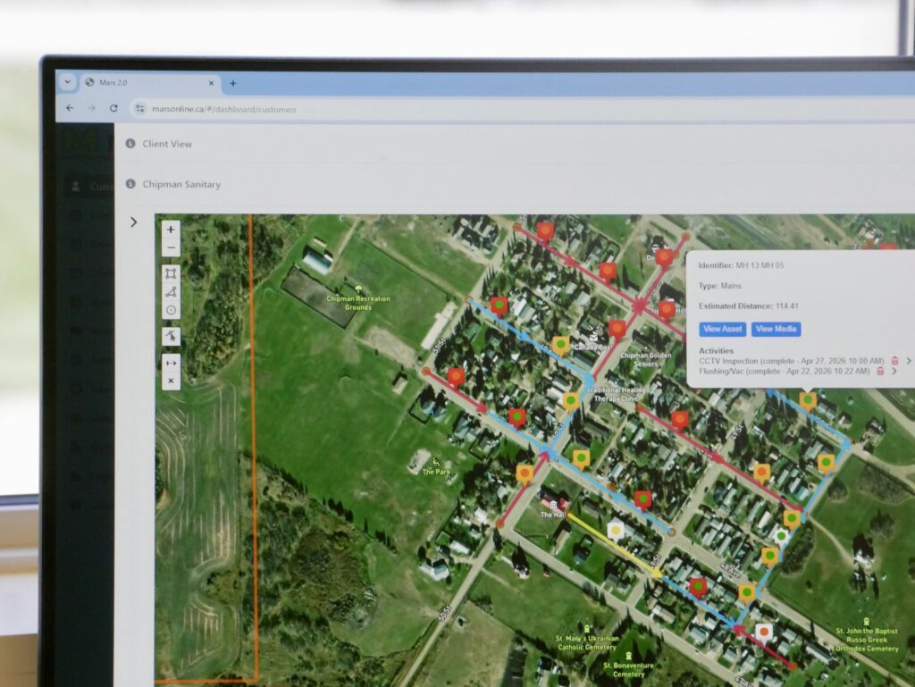
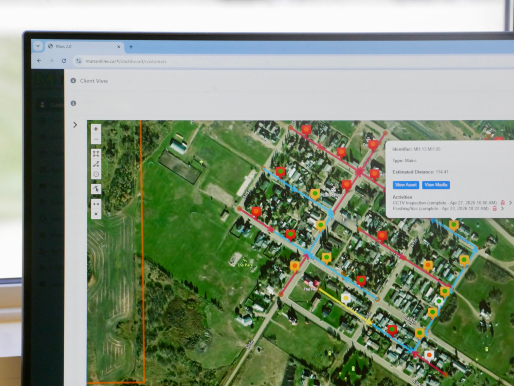
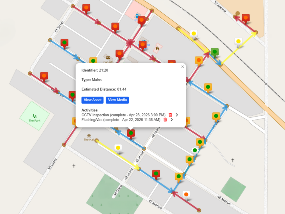
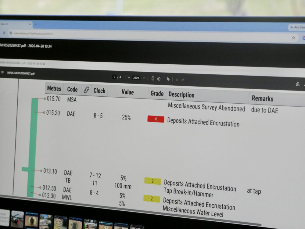
MARS™ is our secure, online client reporting portal. MARS™ transforms field data into accurate, accessible infrastructure insights. View assets on interactive, colour-coded maps, access inspection details, examine photos, and track asset conditions and history in one place. MARS™ helps you prioritize maintenance and make informed decisions before small issues become costly problems.

Why MARS™?

Even the most accurate and reliable data is of little value if it can not be easily accessed

Traditional infrastructure reporting can be fragmented, slow, and difficult to access. MARS™ was developed to improve how data is collected, shared, and used across projects.

The origin of MARS™

A look at what prompted the creation of MARS™

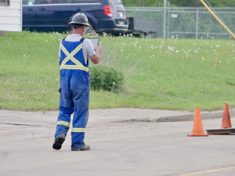
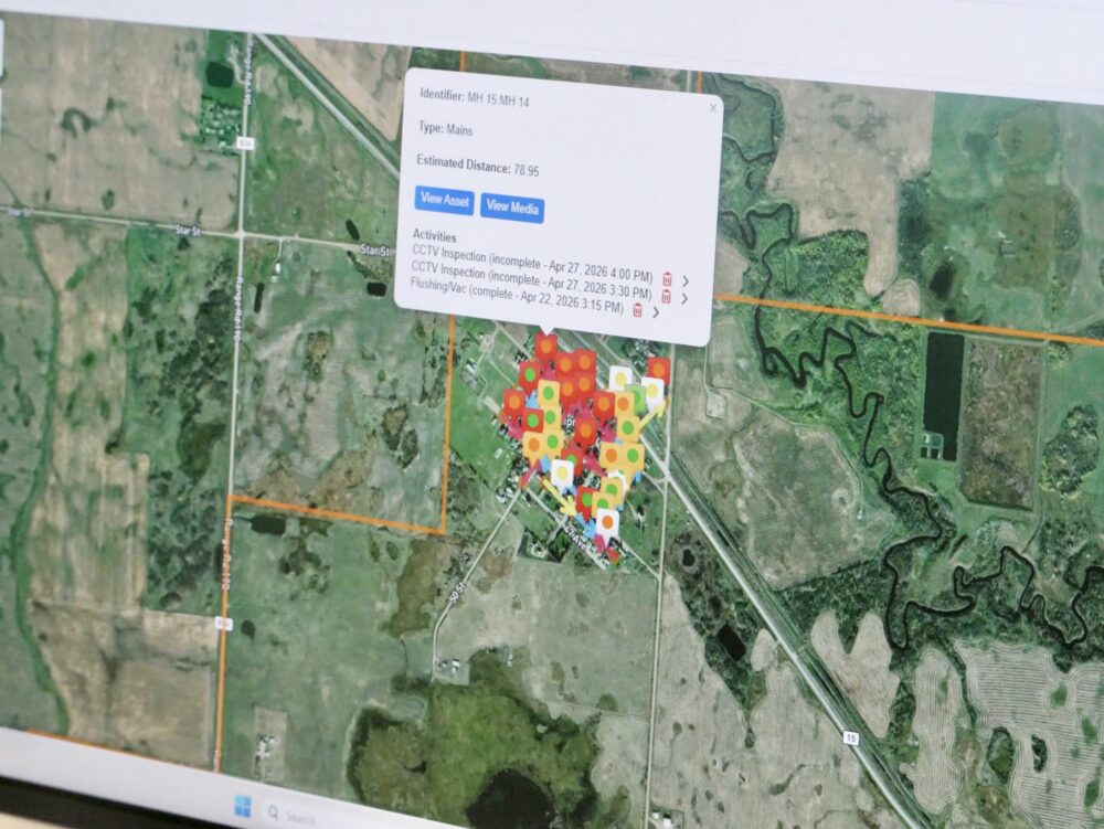
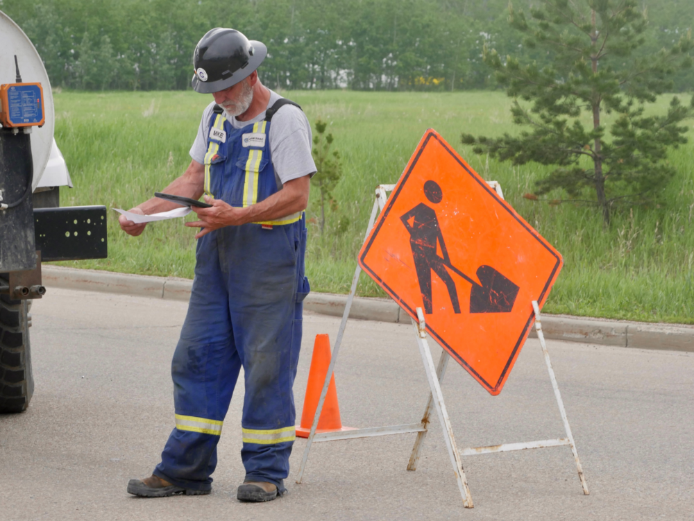
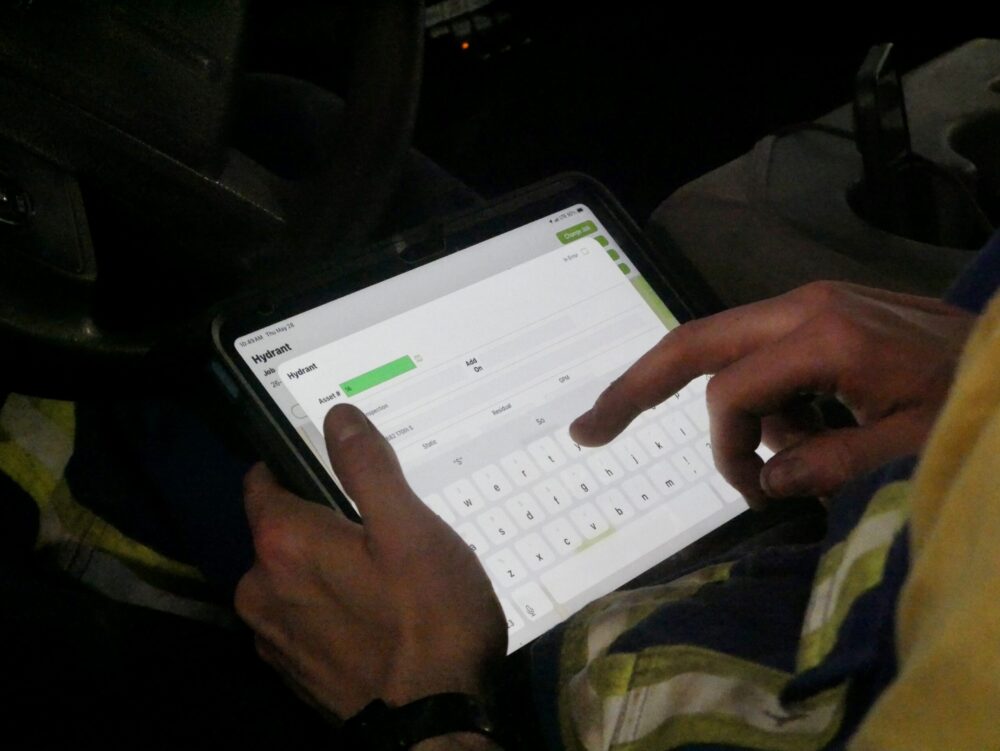
Historical view of a pipe interior captured by a camera inspection system from an early CCTV inspection truck. Field worker entering infrastructure inspection data into a tablet using Cam-Trac’s MARS™ program. MARS™ platform map showing mapped infrastructure points and asset locations for field data management.
In Cam-Trac's early days, findings were handwritten and then retyped using a typewriter. Our president Mark recognized that there was an opportunity to provide clients with more accessible information.
Thomas Edison said “There’s a way to do it better – find it”, so Mark developed his first iteration of MARS™, tranforming fragmented data into one accesible platform.
Today, MARS™ allows clients access to maps, reports and pictures from projects on one easy to operate platform. Gone are the days of searching the town for documents hidden in a drawer.

How MARS™ works

Connecting field work with clearer insight

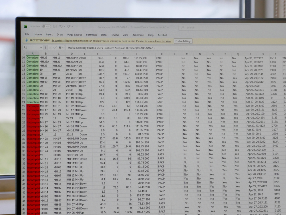
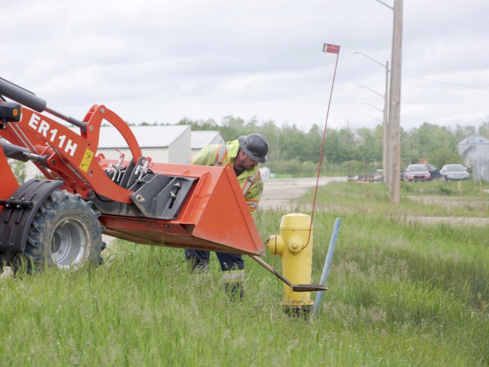
Cam-Trac field worker taking site photos to document conditions before adding information to MARS™. Excel data being prepared for upload into MARS software for client reporting MARS™ platform map displaying multiple infrastructure asset points and locations for digital asset management.
1. Field Data Collection

Project information is captured in real time by Cam-Trac crews during field operations.
2. Data Organization & Reporting

Collected data is structured, organized, and prepared for reporting within the MARS™ system.
3. Client Access & Visibility

Clients access maps, reports, project history, and operational updates through the secure MARS™ portal. Clients can also export CSV files for integration with their internal systems.

What is the value of MARS™?

The technology that
sets us apart

MARS™ software map showing plotted infrastructure asset points and locations on an interactive digital map.

Supporting smarter infrastructure decisions through accessible data.

Better Data. Better Decisions.

MARS™ helps municipalities and contractors improve visibility, reduce inefficiencies, and make more informed infrastructure decisions over time.

Request information about subscriptions, access, and system setup.

Get Started with MARS™

Interested in using MARS™ for your project or organization? Complete the form and our team will contact you to discuss available plans, portal access, and next steps.

Have Questions?

Submit your information and our team will reach out to help get you started.